Montana East
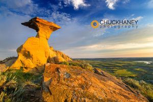
Sculpted badlands formation in short grass prairie in Garfield County, Montana, USA
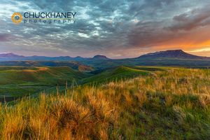
Vivid sunrise clouds above Square Butte and Round Butte in the Highwood Mountains near Coffee Creek, Montana, USA

Vivid sunrise clouds over Fort Peck Reservoir in the CM Russell National Wildlife Refuge near Fort Peck, Montana, USA
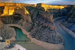
Bighorn River Canyon in Carbon County Montana
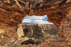
Arch frames Devils Canyon in the Bighorn National Recreation Area, Montana, USA
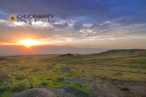
Shortgrass prairie at the Bitter Creek Wilderness Study Area near Hinsdale, Montana, USA
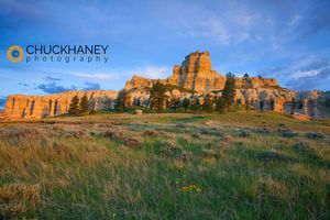
Capitol Rock in the Custer National Forest, Montana, USA

What the Hay Contest, Utica, MT lit by flashlight
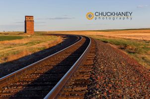
Railroad tracks lead to old wooden granary in Collins, Montana, USA
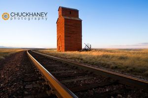
Old Wooden Granary near Collins, Montana, USA
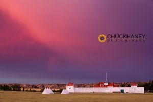
Fort Union during brilliant sunrise on the Montana and North Dakota state line
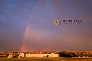
Fort Union during brilliant sunrise on the Montana and North Dakota state line
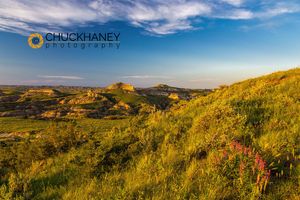
American vetch wildflowers and badland formations in short grass prairie in Garfield County, Montana, USA
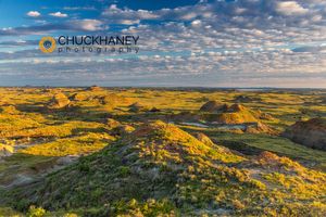
Colorful badlands at daybreak near Ft Peck Reservoir near Jordan, Montana, USA
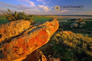
Colorful Sandstone Outcroppings at Hailstone NWR near Rapelje Montana
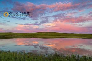
Prairie pond reflects brilliant sunrise clouds in Garfield County near Jordan, Montana, USA
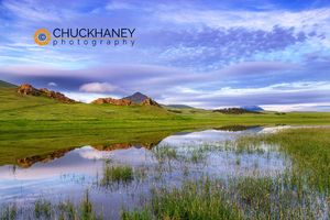
Small ranch pond reflects morning clouds and outcroppings in the Bears Paw Mountains near Chinook, Montana, USA
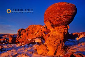
Jerusalem Rocks in winter light in Buckley Coulee near the Canadian border north of Shelby Montana
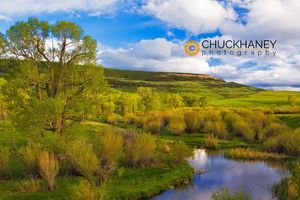
Red Hill sits above wetlands slough off the Judith River near Utica Montana
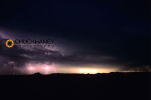
Lightning Storm near the Montana and North Dakota state line
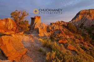
Badlands in Makoshika State Park in Glendive, Montana, USA
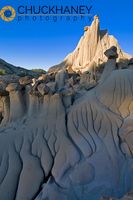
Badlands formations at Makoshika State Park in Glendive Montana
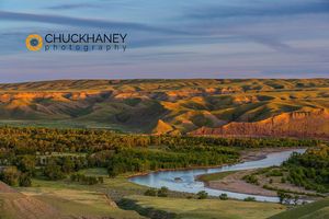
Marias River State Park in spring near Shelby, Montana, USA
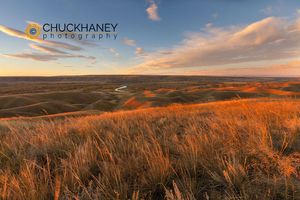
Sunrise clouds over Marias River State Park near Etheridge, Montana, USA
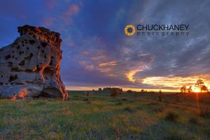
Spectacular sunset skies at Medicine Rocks State Park near Ekalaka, Montana, USA
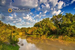
The Milk River
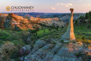
Badlands of the Missouri River Breakns National Monument, Montana, USA
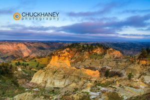
Badlands of the Missouri River Breakns National Monument, Montana, USA
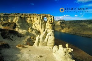
Hole in the Wall in the White Cliffs of the Upper Missouri National Monument in Montana
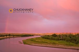
Sunrise lights clouds above the Missouri River near Bainville Montana and the North Dakota State Line
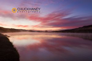
Steam rises from the Missouri River at dawn at the Upper Missouri River Breaks National Monument, Montana, USA
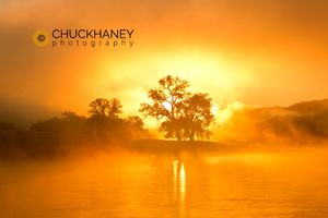
Morning sunrise burns through the fog on the Missouri River at the Upper Missouri River Breaks National Monument, Montana, USA
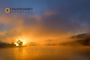
Morning sunrise burns through the fog on the Missouri River at the Upper Missouri River Breaks National Monument, Montana, USA
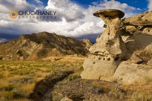
Caprock formation near Little Bullwhacker Creek in the Upper Missouri River Breaks National Monument, Montana, USA
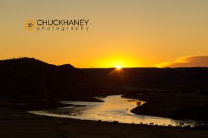
Sunrise over the Missouri River at the Upper Missouri River Breaks National Monument, Montana, USA
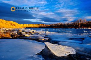
Ice chards along the cliffs of the Missouri River near Fort Benton, Montana, USA
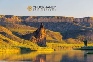
Citadel Rock in morning light at the White Cliffs of the Missouri River at Upper Missouri River National Monument, Montana, USA
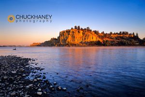
The Yellowstone River at sunrise near Pompeys Pillar, Montana, USA
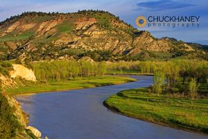
The Powder River near Broadus, Montana, USA
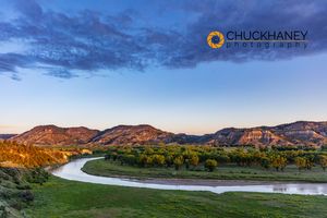
The Powder River in Powder River County, Montana, USA
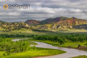
The Scenic Powder River in Powder River County, Montana, USA
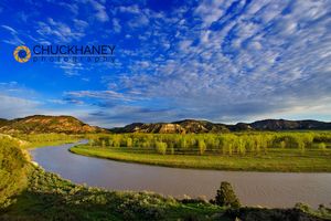
The Powder River near Broadus, Montana, USA
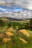
The Scenic Powder River in Powder River County, Montana, USA
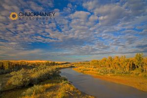
The Powder River in autumn
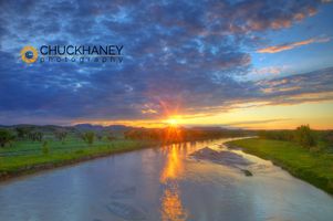
The Powder River catches last light in Custer County Montana
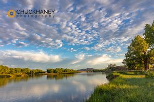
Sunrise clouds over the Powder River near the confluence with the Yellowstone River near Terry, Montana, USA
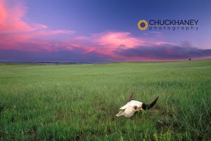
Buffalo Skull in Prairie Grass near Wibaux, Montana
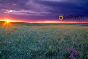
Short grass prairie sunset near Culbertson, Montana
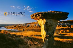
Sandstone formation along the Wild and Scenic Missouri River in Montana
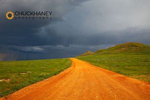
Red scoria road leads to approaching thunderstorm near Baker Montana
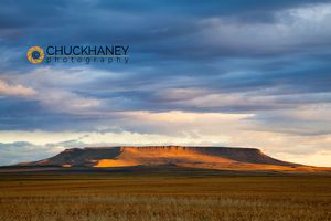
Morning sunlight breaks through the cloud cover and illuminates Square Butte near Great Falls, Montana, USA
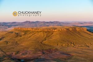
Aerial of Square Butte near Great Falls, Montana, USA
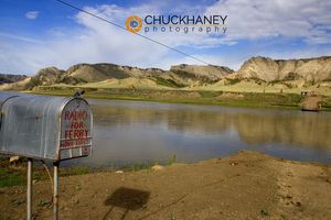
The Stafford aka McClellan Ferry on the Wild and Scenic Missouri River in Montana
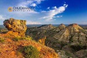
Badlands formations above the Yellowstone River in the Terry Badlands Wilderness Study Area near Terry, Montana, USA
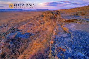
Cliffs Edge at Ulm Pishkun Buffalo Jump State Park near Great Falls, Montana, USA
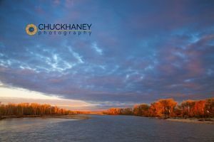
The Yellowstone River at days first light in Laurel, Montana, USA
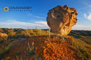
The Yellowstone River Breaks near Sidney, Montana, USA
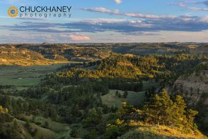
Badlands above Snow Creek in Garfield County, Montana, USA
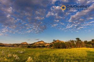
Late day light on badlands and ranch pastures near Miles City, Montana, USA
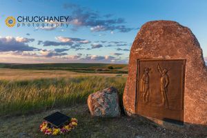
Bear Paw National Battlefield near Chinook, Montana, USA
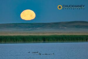
Canada goose family as full moon sets over prairie pond in Medicine Lake National Wildlife Refuge, Montana, USA
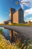
Grain elevator in days last light in Medicine Lake, Montana, USA
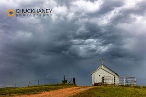
Abandonded church in thunderstorm in Richland County, Montana, USA
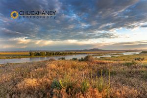
Sunrise clouds over the Yellowstone River at the confluence with the Powder River near Terry, Montana, USA
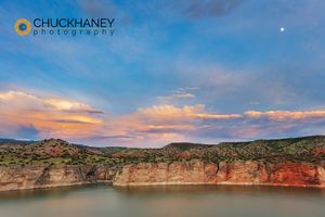
Stormy clouds over the Bighorn River in the Bighorn National Recreation Area, Montana, USA
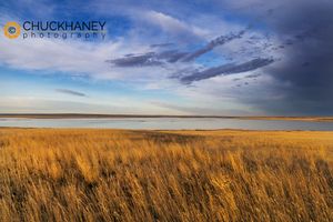
Prairie grasslands and Lake Bowdoin at Bowdoin National Wildlife Refuge near Malta, Montana, USA
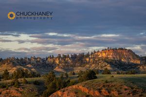
Colorful Badlands Formations in days last light in the Custer National Forest, Montana, USA
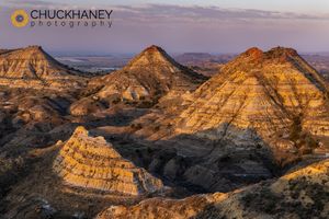
Dramatic Badlands Formations in the Terry Wilderness Study Area near Terry, Montana, USA
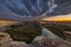
Sandstone Hoodoos over the confuence of Badger Creek and The Two Medicine River at Rock city near Valier, Montana, USA
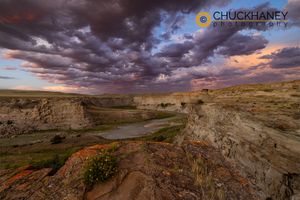
Sunset Storm Clouds over the Two Medicine River at Rock City near Valier, Montana, USA
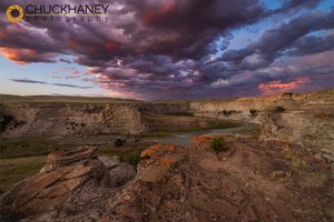
Sunset Storm Clouds over the Two Medicine River at Rock City near Valier, Montana, USA
